California Coastal Storm & Tidal Wave Study
Orange County, CA
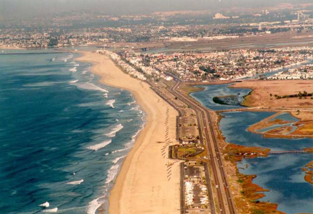
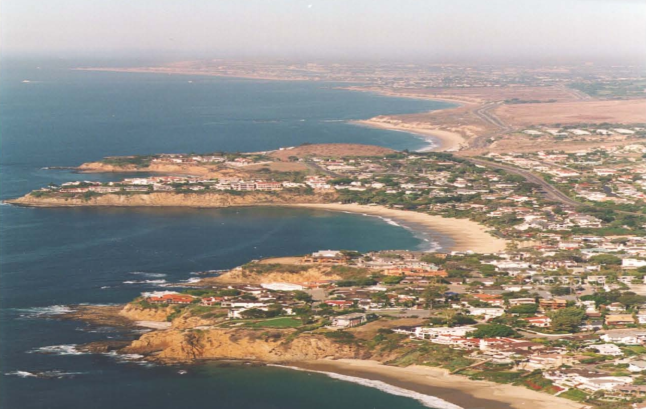
In support of the U.S. Army Corp of Engineers’ Coast of California Storm and Tidal Waves Study, NCI conducted a comprehensive analysis to define the prevailing and extreme near-shore wave climate along 30 miles of metropolitan shoreline. The purpose of the study was to provide input for sand management planning and to better define design criteria for shoreline stabilization structures and development. Local, regional and global meteorology was studied to identify the dominant patterns of deep-water wave generation. Near-shore transformation of wave energy along the study area was described using a state-of-the-art spectral refraction model, which included island-sheltering effects. The analysis was synthesized into recurrence estimates of expected wave conditions throughout the County’s shoreline using a Monte Carlo simulation. The numerical model simulated the seasonal variation in deep-water wave occurrences and the resultant heights, periods, and angles of incidence after propagation to the Orange County coastline. Extreme wave climate was determined using a storm track hind-cast technique.
The numerically simulated near-shore wave climate was used to estimate the annual alongshore transport rate within the study reaches. In addition, a flooding analysis induced by impinging waves and high tides during storm events of various return frequencies was conducted. A regional sand management plan was then formulated, based upon the long-term coastal processes assessment, the projected sediment budget, and the analyzed short-term flooding scenarios. The sand management plan consisted of three objective elements of long-term beach preservation, short-term storm protection and regular monitoring. Progressive levels of action were formulated for each element to accomplish a series of successive and sequential steps for different phases of management goals.


